Download the Fact Sheet as a PDF
Natural History
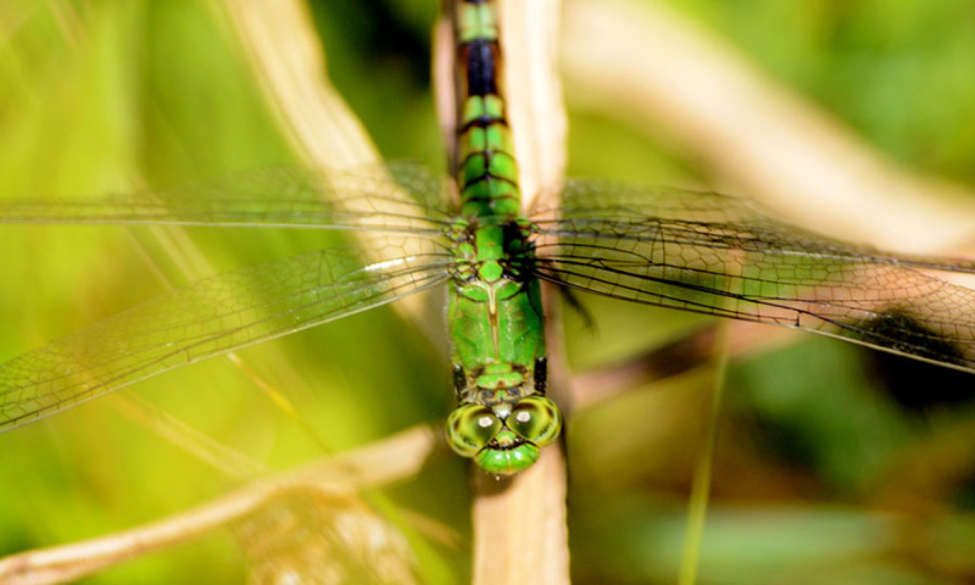
Garret Mountain is a National Audubon Society Important Bird Area (IBA) and NJ Audubon Important Bird and Birding Area (IBBA). It is recognized as a significant migrant stopover / fly over area for landbirds during their spring and fall migrations. There have been 245 different bird species observed at Garret Mountain.
A Breeding Bird survey was conducted at Garret Mountain Reservation in 2022. Thirty-seven different bird species were found confirmed (or probable) to be breeding at the park, including Brown Thrasher and Wood Thrush, which are NJ Species of Special Concern.
Garret Mountain Reservation is also designated as a National Natural Landmark (NNL) by the National Park Service — It is one of only 602 such federally designated sites in the United States, and one of only 12 NNL sites in New Jersey. The Reservation is part of the Great Falls of Paterson-Garret Mountain NNL, so designated for its excellent illustration of jointed basaltic lava flow.
Garret Mountain was created by volcanic activity 200 million years ago. Early dinosaur footprints and other fossils of the Late Triassic Period-Early Jurassic Period were once found in the quarry below Rifle Camp Park and displayed in the former Nature Center.
Three tributary streams and their sub-watersheds of the Passaic River have their origins on the Rifle Camp Park portion of Garret Mountain. These streams include Third River, Weasel Brook, and Slippery Rock Brook. Slippery Rock Brook flows into Garret Mountain Reservation where it is impounded to form Barbour’s Pond. It eventually flows into the Passaic River above the Great Falls.
Barbour’s Pond is stocked with various Trout species by NJDEP Div. of Fish and Wildlife. Warmwater fish species are also present, including Largemouth Bass, Bluegill Sunfish, and Pumpkinseed Sunfish.
The Herp Atlas Project identified Snapping, Eastern Painted, and Redbelly Turtles in Barbour’s Pond.
Vernal Pools/Habitats are present in both parks. Northern Spring Peeper is confirmed as being present.
A Bioblitz was held at Garret Mountain in June 2021, providing a 24-hour “ecological snapshot” in time. There were 141 plant species (and 11 species of fungi and lichens) identified at the Bioblitz. The Torrey Botanical Society has also inventoried the flora of both parks from 1995 – 2023.
Unique Traprock Glade Plant Communities are present in both parks. A Plant Species of Special Concern has recently been found in Rifle Camp Park, Ledge or Rock Spike-moss (Selaginella rupestris). This plant has a S2 Imperiled classification.
Human History
Garret Mountain is the present geographic name for the local section of the First Watchung Mountain. It has had multiple names in the past mainly from the Dutch Colonial Period. There are a few theories as to the origin of the name Garret Mountain. One probable theory states that the source name was from the family of the Revolutionary War patriot Henry Garritse who had owned Garret Mountain. The mountain has also been called Weasel (Wessel) and Orange (Oranje) Mountain, and in more recent times, Paterson Mountain.
During the Revolutionary War, Garret Mountain served as a location where Washington’s troops could observe the movements of British soldiers. The name “Rifle Camp” has its origin from the fact that Major James Parr’s Rifle Corps had camped in this area in 1780.
The area around Garret Mountain was originally inhabited by the Acquackanonk Tribe of the Lenni Lenape. Rock shelters and caves containing flint blades, chips, pottery, and other artifacts have been found on the mountain. The name “Watchung” has its source with the native Lenape. The mountains were known as the Wach Unks (high hills).
Lambert Castle (originally called Belle Vista) was built in 1892 by Catholina Lambert, a wealthy silk manufacturer. The Observation Tower along the ridge was built in 1896. In 1976, Lambert Castle was added to the National Register of Historic Places.
Southwest of Belle Vista (Lambert Castle), the Barbour Flax Spinning Company had also purchased land and and constructed Barbour’s Pond in 1879 by damming the stream (Slippery Rock Brook). The pond would supply pure spring-fed water, to be used in their flax mills in Paterson. In 1895 the pond was also used for ice harvesting.
The Passaic County Park Commission acquired most of the land for Garret Mountain Reservation in 1927. The original landscape was designed in the early 1930s by the legendary Olmsted Brothers firm. Garret Mountain Reservation was opened in 1931, and in 1936 WPA workers began constructing stone walls, stone stairs, trails, and other projects in the park. In the 1930’s and 1940’s Barbour’s Pond was used as a public swimming area.
The original Olmsted Plan was for a much larger park that would encompass 1000 acres. The plan also included the area now known as Rifle Camp Park, and was recommended to include the entire crest of the mountain to Great Notch, and possibly farther south to Essex County.
The land for Rifle Camp Park was eventually acquired from various private landowners and the Passaic Valley Water Commission. This area was once known as South Mountain. Rifle Camp Park was officially opened to the public in June 1974. The ultimate purpose was to keep the park in its near natural condition, and it was dedicated to passive recreational use.